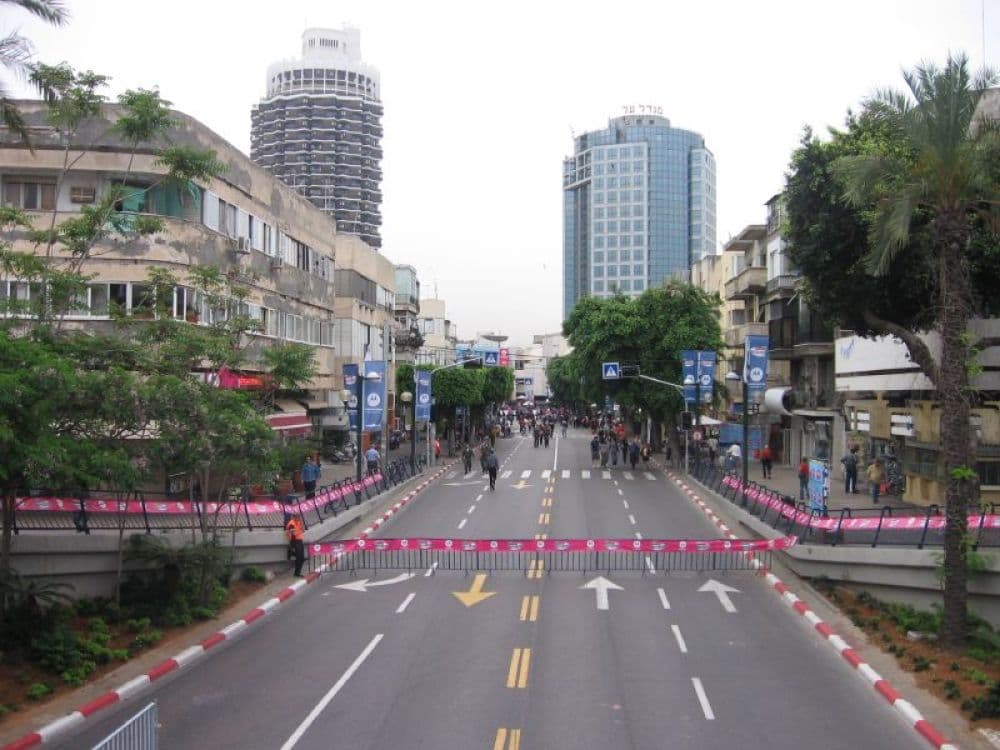
How To Reach Dizengoff Street And Square (Tel Aviv) In 2026 - 2027
Urban Street and Square
Travel Guide to Dizengoff Street and Square, Tel Aviv, Israel
Getting to Dizengoff Street and Square
Dizengoff Street and Square are iconic locations in Tel Aviv, offering visitors a blend of shopping, dining, and vibrant urban culture. Here's how to reach this bustling destination:
By Air
Ben Gurion International Airport (TLV) is the nearest airport to Tel Aviv. From there, you have several options to reach Dizengoff Street and Square:
- Taxi: The fastest but most expensive option. Taxis are available 24/7 at the airport.
- Train and Bus: Take a train to Tel Aviv and then hop on a local bus to Dizengoff.
- Rental Car: Drive yourself from the airport via Route 1 and Ayalon Highway (Route 20).
By Public Transportation
Tel Aviv has a comprehensive public transportation system including buses and shared taxis (sheruts):
- Buses: Multiple buses run through Dizengoff Street. Check the local bus service for up-to-date routes and schedules.
- Sheruts: These shared taxi vans follow bus routes but can be hailed anywhere.
By Car
Driving to Dizengoff is straightforward:
- From central Tel Aviv, head north on Dizengoff Street until you reach the square.
- From outside Tel Aviv, use main highways such as Ayalon Highway, and exit for city center routes towards Dizengoff Street.
By Foot or Bicycle
If you're staying in central Tel Aviv, Dizengoff Street and Square are easily accessible on foot or by bike. Tel Aviv is a very walkable and bike-friendly city with dedicated lanes and bike-sharing systems.
Tips:
- Parking: If you're driving, be aware parking can be limited and is usually paid.
- Public Transport Cards: Consider buying a Rav-Kav card for convenient use on buses and trains.
- Accessibility: Public transportation and most areas around Dizengoff are wheelchair accessible.
- Check the local traffic and transportation updates before your trip for any service changes.