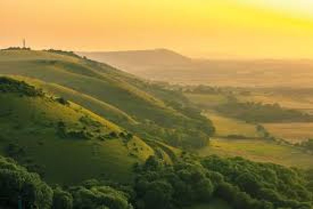

Devil's Dyke is a stunningly beautiful area in the South Downs National Park, just a few miles north of Brighton. Here's how you can reach this picturesque destination.
If traveling by car, Devil's Dyke is accessible via the A23 and the A27. Take the exit for the A281 and follow the signs to Devil's Dyke. The postcode for sat-nav users is BN1 8YJ. There is a pay-and-display car park available on-site.
Buses: The 77 bus operates from Brighton Pier and Brighton train station directly to Devil's Dyke on weekends and bank holidays. It provides a scenic route and is a convenient option for those not travelling by car.
Trains: The nearest train station to Devil's Dyke is Hassocks. From there, you can take a taxi or cycle to Devil's Dyke, which is around 6 miles away. Alternatively, you can take a train to Brighton station and then catch the 77 bus.
Devil's Dyke is well-known for its cycling trails. If you prefer to bike, you can follow numerous routes from Brighton city center to Devil's Dyke. The ride takes you through some idyllic countryside and is a great way to experience the South Downs.
For the keen hiker, there are various footpaths and bridleways leading up to Devil's Dyke from Brighton and the surrounding area. One of the most popular walking routes is the South Downs Way, which offers panoramic views and a direct route for walkers.
Before setting off, it's a good idea to check the latest travel updates, especially for public transport options, as schedules and services might change due to the season or weather conditions.