Tatamailau (Ermera) FAQs In 2026 - 2027
Mountain/Peak
10 FAQs on Tatamailau
What is Tatamailau?
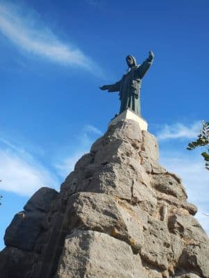
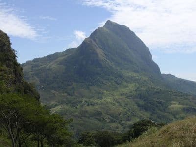
Tatamailau, also known as Mount Ramelau, is the highest mountain in Timor-Leste (East Timor) and one of the country's most significant landmarks. Standing at 2,986 meters (9,797 feet) above sea level, it is a popular destination for trekkers and offers panoramic views of the island and surrounding ocean on clear days.
Where is Tatamailau located?
Tatamailau is located in the central part of Timor-Leste, in the district of Ermera. It is situated approximately 70 kilometers (43 miles) south of the capital city, Dili.
How difficult is the trek to Tatamailau's summit?
The trek to the summit of Tatamailau is considered to be of moderate difficulty. It generally takes about three to four hours to reach the peak from the starting point in Hato Bulico, the village at the base of the mountain. The path is well-defined but can be steep and challenging in parts, especially in wet conditions.